Who the hell uses mapquest anymore? Do you still search the web with HotBot too? :kick:
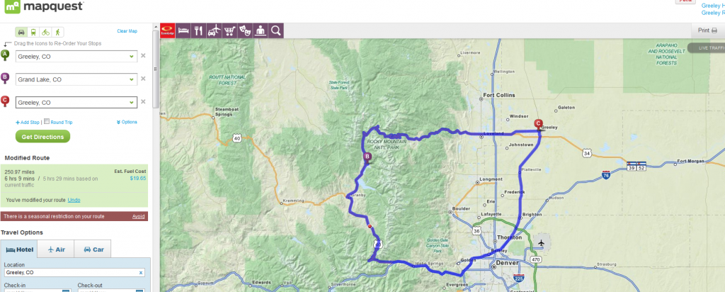
250 miles? Thats not too bad for a one day trip.
I have done more than half the high altitude passes in Colorado and my goal this year is to mark off all the blue passes. They are not on a route to anything interesting or are offshoots from better (higher) passes.
I also have a vacation planned around covering four of the passes which are more than a 500 mile round trip from Denver(red).
1a Cottonwood Pass 12,119 feet 38°49′40.31″N 106°24′33.37″W
1 Independence Pass 12,103 feet SH 82
2 Loveland Pass 11,990 feet US 6
2a Fall River Pass 11,762 feet
3a Guanella Pass 11,660 feet
3 Hoosier Pass 11,541 feet SH 9
4a Boreas Pass 11,499 feet 39°24′37″N 105°58′05″W
4 Slumgullion Pass (4,11) 11,361 feet SH 149
5 Fremont Pass 11,318 feet SH 91
6 Berthoud Pass 11,315 feet US 40
7 Monarch Pass 11,312 feet US 50
8 Juniper Pass 11,130 feet SH 103
9 Red Mountain Pass 11,018 feet US 550
10 Molas Divide 10,910 feet US 550
11 Spring Creek Pass (4,11)10,901 feet SH 149
12 Wolf Creek Pass 10,850 feet US 160
13 Milner Pass 10,758 feet US 34
14 Vail Pass 10,666 feet I-70
15 Coal Bank Pass 10,640 feet US 550
16 Tennessee Pass 10,424 feet US 24
16a Marshall Pass 10,882 feet
17 Cameron Pass 10,276 feet SH 14
18 La Manga Pass 10,230 feet SH 17
19 Lizard Head Pass 10,222 feet SH 145
20 North Pass (20,34) 10,149 feet SH 114
21 Cumbres Pass 10,022 feet SH 17
21a Kebler Pass (21a, 37) 10,003 feet 38°50′59″N 107°06′01″W
22 Kenosha Pass 10,000 feet US 285
23 Red Hill Pass 9,993 feet US 285
24 Cucharas Pass 9,941 feet SH 12
25 Squaw Pass 9,807 feet SH 103
26 Willow Creek Pass 9,621 feet SH 125
27 Gore Pass 9,527 feet SH 134
28 Wilkerson Pass 9,507 feet US 24
29 Rabbit Ears Pass 9,426 feet US 40
30 North La Veta Pass 9,413 feet US 160
31 Trout Creek Pass 9,346 feet US 24
32 Ute Pass 9,165 feet US 24
33 Wind River Pass 9,150 feet SH 7
34 Poncha Pass (20,34) 9,010 feet US 285
35 Dallas Divide 8,970 feet SH 62
36 Muddy Pass 8,772 feet US 40
37 McClure Pass (21a, 37) 8,755 feet SH 133
38 Douglas Pass 8,268 feet SH 139
39 Cerro Summit 7,958 feet US 50
39 Raton Pass 7,834 feet I-25
41 Monument Hill 7,343 feet I-25
1 Mount Evans Scenic Byway 14,160 feet SH 5
2 Pikes Peak Highway 14,110 feet toll road
3 Trail Ridge Road 12,183 feet US 34
4 Eisenhower Tunnel 11,158 feet I-70
5 Grand Mesa Summit 10,839 feet SH 65
a- partial unpaved or gravel
Bold- Crossed
Red- More than 500 mile round trip
Blue- Out of the way location
Trail Ridge Road is the highest paved road in North America (highest point on the drive is 12,100ft).
Thats not
quite true. Pikes Peak and Mt Evans are both significantly higher and are paved the entire way. Mt Evans is even a State Highway, which makes it a free road to travel as long as you don't park at any of the three parking lots. Trail ridge is the highest
continuous paved road. Also, Independence Pass and Cottonwood Pass are equally high and a continuous road, though a section is not paved which costs them the title.